SATAMAP
PRODUCTIVITY WITHOUT COMPLEXITY
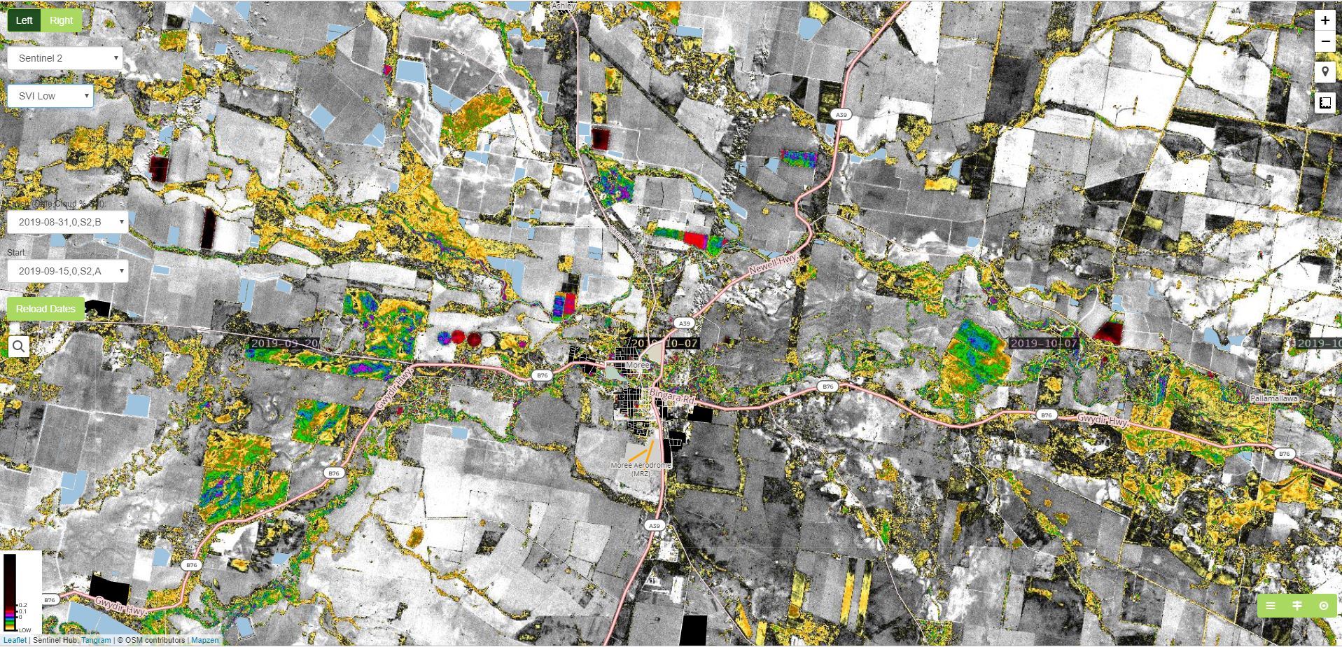
Satamap Global is web based platform for viewing and analysing satellite imagery available anywhere in the world. It is designed for farmers, consultants and other
professionals that want to excel at decision making in agriculture and the
environment.
Satamap can be used to monitor crops, look at crop health and stress throughout the season, access crop damage for insurance, manage land use and sustainability, assess land value and numerous other processes for the farmer, consultant and
professionals in agriculture.

Enhance the process further with in-crop Remote Sensing

Features Include
- Pick a date to see NDVI, SVI or NDYI (for flowering in Canola)
- Pick one of six previous cloud free imagers for change detection
Benefits Include
- Quickly decide on ground truthing requirements
- Quickly assess in field changes for gains and losses
- Open in our Open Rx tool in View or Snapshot
- Send your Rx direct to John Deere Operation Center or Machines.

Want to know more about Satamap?
Contact us using the form below and one of our team members will get back to you.